
Fruška Gora is a long, low, wooded ridge — some eighty kilometres of it, topping out at 539m at Crveni Čot — laced with 220km of marked paths for this one day. The fourteen routes are simply different-sized helpings of the same mountain: east or west along the ridge, more or fewer of its climbs, home for lunch or running under headtorch into Sunday.
The split that matters is SPORT versus FUN. Five routes are timed, ITRA-certified trail races. Nine are hiking routes: no rankings, no pressure, checkpoints stamped like a mountain passport. Everyone starts together at Popovica at nine.
| Route | Distance | ITRA | Who it suits |
|---|---|---|---|
| Trainee South (Pripravnički južni) | 22 km · 898m D+ | 1 point | Your first trail race — real climbing, done by lunch |
| Small East Extreme (Mali istočni ekstremni) | 42 km | 2 points | The trail marathon — a full tour of the eastern ridge |
| Middle East (Srednji istočni) | 59 km | 3 points | The step beyond the marathon, still done in daylight |
| Ultra maraton | 107 km | 4 points | The night run — headtorch, dawn, and most of the mountain |
| Ultra ekstremni | 134 km | 5 points | The whole ridge. Into Sunday. The one people train years for |
Elevation is published per route on the official site with GPS tracks for each — the 22km's 898m of climb is the honest signal that none of these are flat. ITRA points as listed by the organiser for the 2027 edition.
The other nine routes — the Mali and Pripravnički family, all under 41km — are hiking routes, and they are what makes this event feel like nothing else in the calendar. No timing pressure, no rankings: you walk, you stamp your card at the checkpoints, you eat something at a vidikovac with half of Novi Sad doing the same. A tenner online, £13 (€15) if you simply turn up at Popovica on the morning with a small gift from the organiser thrown in.
And one of them — the Staza radosti i zadovoljstva, the trail of joy and pleasure — is free. It exists so that nobody, whatever their circumstances, is priced off the mountain on its biggest day. Fifty years in, that is still the spirit of the thing, and it tells you more about this event than any certification does.
If you are bringing non-runners: enter them on a FUN route rather than leaving them at the finish. The routes share sections and checkpoints, so a family on the 12–18km walks will genuinely cross paths with your race — the only event on this site where that is true.
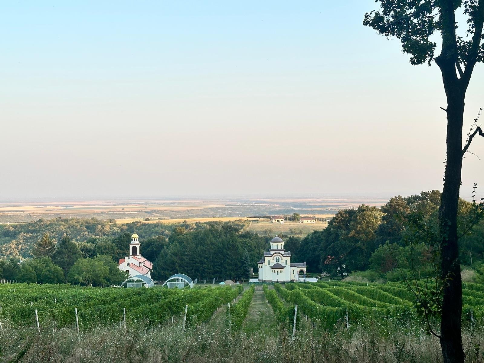
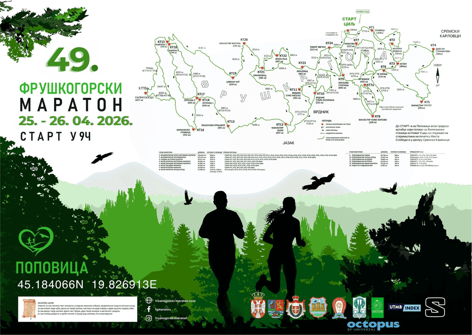
Map: Fruškogorski maraton
This is where the event differs most from everything else on this site, so plainly: you are expected to be semi-autonomous. There are 24 checkpoints across the network for stamping your passage, but not all of them carry food and water. You carry your own supplies between the ones that do, you follow the hearts and your GPS track, and on the ultras you manage your own night.
| Navigation | Painted markings — white circle, red heart — plus canvas signs and asphalt marks; GPS tracks published per route |
| Checkpoints | 24 across the network — passage control at all, refreshments only at some |
| What to carry | Water, food, waterproof, charged phone; headtorch on the two ultras |
| Terrain | Forest paths, vineyard lanes and local roads — runnable, rooty, and muddy in April |
| Tracking | GPS tracking links published for following competitors on race day |
None of this should frighten anyone who has done a British fell race or a marked ultra — it is the normal grammar of trail. But if your only references are road marathons, read the Tips page before you pick a distance, and consider the 22km first.